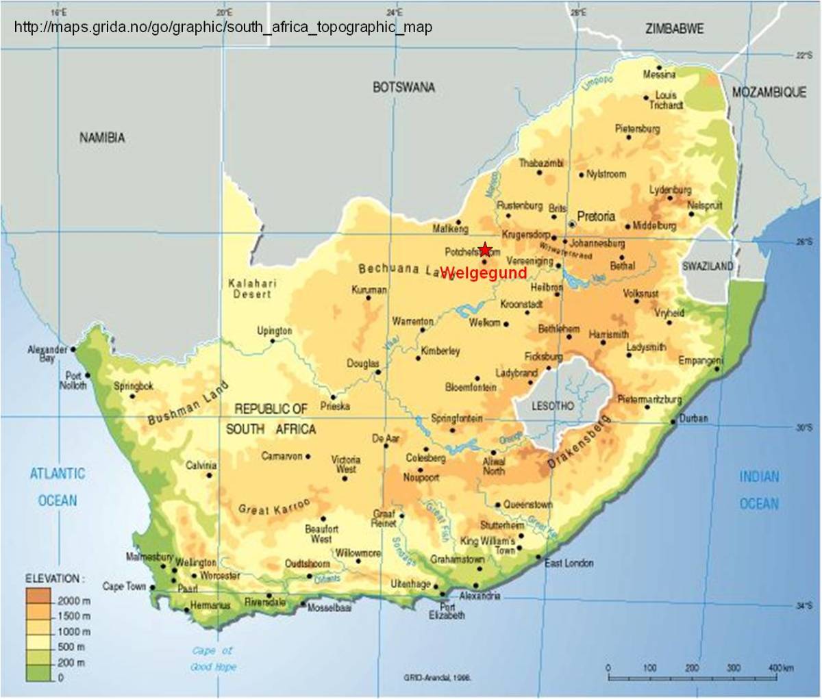
Welgegund Reseach Station
The Welgegund atmospheric measurement station is located on a grazed grassland-savannah approximately 100 km west of Johannesburg (Gauteng) metropolitan area in South Africa. The site is frequently hit by pollution plumes from Johannesburg metropolitan area and the western Mpumalanga industrial Highveld, with frequent clean air injections from the west. The site is operated jointly by the North-West University (NWU), the Finnish Meteorological Institute (FMI) and the University of Helsinki (UH).
Site description
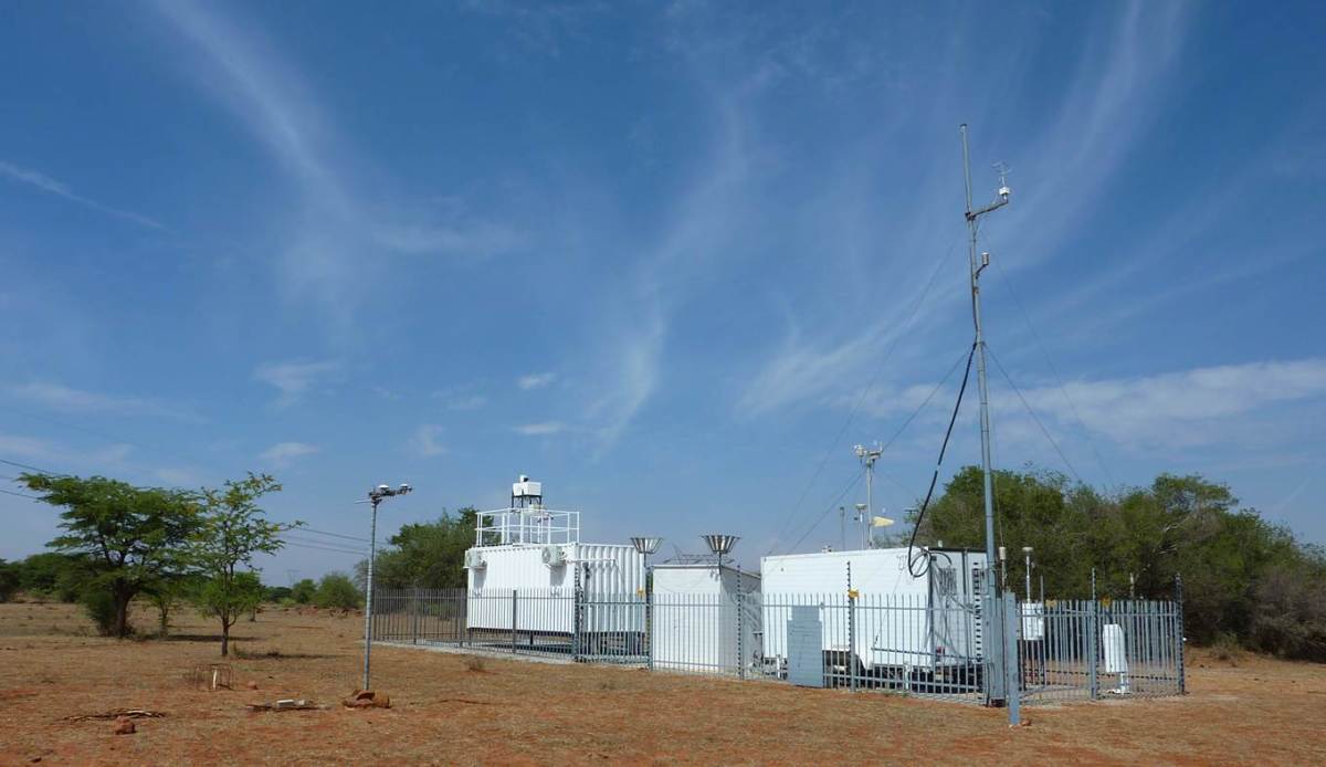
The Welgegund measurement site is positioned approximately 25 km north-west of Potchefstroom, Republic of South Africa (26°34'10"S, 26°56'21"E, 1480 m.asl). The annual average temperature in the area is around 18 degrees, with typical maximum summer temperatures around 30ºC and minimum winter temperatures around 0ºC. The precipitation over the area falls during the wet season starting in October and lasting until April. The dry winter season with almost no precipitation is from mid-May until mid-September. The area surrounding the measurement station is grassland savannah grazed by cattle and sheep. The dominant vegetation comprises grasses, with geophytes and herbs also being well represented. The dominant grass species are Hyparrhenia hirta and Sporobolus pyramidalis. Non-grassy forbs include Acacia sieberiana, Rhus rehmanniana, Walafrida densiflora, Spermacoce natalensis, Kohautia cynanchica, and Phyllanthus glaucophyllus. The soil consists of sandy tilt.
There are very few local pollution sources close to the site, but it is frequently hit by pollution plumes from Johannesburg greater metropolitan area. These plumes are often balanced with clean air injections from the western sector.